Warangal district
is located in the northern region of the state of Telangana India. The administrative seat is Warangal The district is at a distance of approx. 80
km. from the state capital Hyderabad Warangal District has an area of
12,846 km², and a population of 3,246,004 of which 19.20% was urban as of
2001. The district is bounded by Karimnagar District
to the north, Kham am District to the
east and southeast, Nalgonda District to
the southwest, and Medak District to the
west. Warangal is well known for its granite quarries (notably the black and
brown varieties) and as a market for rice, chili peppers cotton and tobacco The Warangal district headquarters is also Warangal
This includes Warangal, Hanamkonda and Kazipet
areas the towns in the district includes Parkal ,Mahabubabad ,Janagaon ,Narsampet
,Thorrur, Bhupalpally etc. Warangal was the capital of Kakatiya kingdom ruled
by the Kakatiya dynasty from the 12th to the 14th centuries. Warangal also
known as Orugallu, Ekasila Nagaram . The old name of this place is Orugallu.
Oru means one and Gallu means stone. The Kakatiya left many
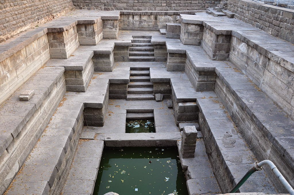
monuments, including an impressive fortress,
Warangal national Highway
India between Hyderabad to Bhopalpatham Warangal
to Hyderabad only 140 K.M only .Warangal
to rail route is available just Warangal to Hyderabad just two hours journey . Warangal
dist. so many temple have old temple is Thousand pillars temple and Warangal
Fort and Ramappa temple and Pakhal lake and Me dram Shiva temple . Warangal
Kakatiya University have education development .Warangal biggest real-estate
and Bharakalley temple is development. This is my Warangal dist. . APGENCO has
set up a 500 MW (and another unit of 1x600MW unit is under construction, thus
the total capacity will become 1100MW) super thermal power plant in the
Chelpur/ Bhupalpally area. Power Grid Corporation of India Limited is having a
630MVA, 400/220KV Substation in the Oglapur village in Atmakur mandala.,Ganga River have in dist.


No comments:
Post a Comment